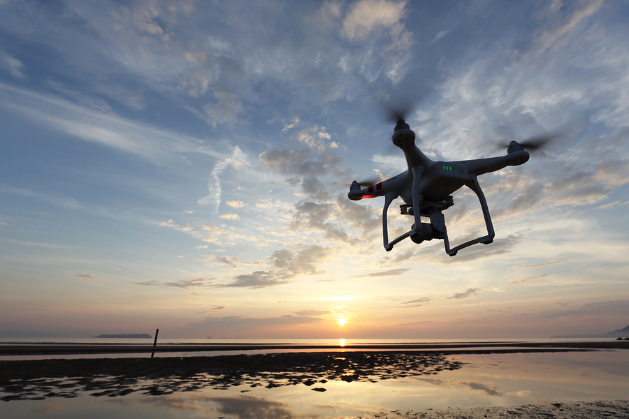
While authorities were desperately trying to save people from the deadly Fourth of July floods in Kerr County, Texas, a private drone collided with a search and rescue helicopter and forced it to make an emergency landing, one of the latest incidents in a trend of uncrewed aerial vehicles flying into restricted zones.
In January, a drone crashed into a firefighting aircraft battling the Palisades wildfire in California, according to federal prosecutors, damaging the plane’s wing.
Now state governors and industry experts are calling on Congress to give state and local officials more leeway to control rogue drones, an issue that will be in the spotlight as the US prepares to host the 2026 FIFA World Cup and 2028 Summer Olympics.
The Departments of Homeland Security, Justice, Defense and Energy have the legal authority to intercept and disable illicit drones but state and local law enforcement don’t have the authority to take them down.
Local officials “can maybe find the operator and ask them politely to land the drone,” Michael Robbins, chief executive officer of the Association for Uncrewed Vehicle Systems International, said during a House subcommittee hearing on drone security this week. But until Congress expands their detection and mitigation powers, law enforcement is “left without many tools right now.”
US lawmakers need to expand the ability of states to counter the threat themselves, New York Governor Kathy Hochul said in a July 8 letter to President Donald Trump, citing next year’s World Cup and other potential targets. Granting authority to improve detection and mitigation “is no longer a matter of preference,” she wrote. “It is a matter of urgent concern.”
The leaders of other states agree on the need for more power. “Governors are on the front lines of this challenge. Yet, in many cases, we lack the clear authority or tools needed to respond effectively,” Democratic North Carolina Governor Josh Stein and Republican Virginia Governor Glenn Youngkin, co-chairs of the Council of Governors, wrote in a letter to Defense Secretary Pete Hegseth and Homeland Security Secretary Kristi Noem on July 2.
State, local, tribal and territorial agencies need the authority to counter UAVs, according to Tom Walker, CEO of DroneUp, which has worked with governments on UAV-related training and operational support, policy development, mission coordination and integrated airspace management.
“We have both good and bad actors in the air, and right now we can’t identify which is which,” he said during this week’s hearing. “These are not hypothetical threats. They’re happening now in active emergency zones and putting lives at risk.”
Last month, Trump signed an executive order establishing a task force to address drone threats and directing the Federal Aviation Administration to establish a process to restrict drone flights over critical infrastructure.
The FAA uses its Remote Identification system to integrate UAVs into the National Airspace System, a network of controlled and uncontrolled airspace and facilities.
Remote ID requires registered drones to transmit their identification and location using a broadcast signal, but is subject to interference and signal loss, said Ryan Wallace, professor of aeronautical science at Embry-Riddle Aeronautical University. “It would be extremely costly to deploy a network that is going to cover the US or sometimes even large areas with any sort of an ability to detect all of these,” he said.
The FAA is using agency-operated drones and commercially available drones to evaluate the effectiveness of its drone detection and counter-drone technologies, according to an agency spokesperson.
The FAA has recorded at least 1,000 illegal drone incursions near US airports this year, a roughly 15% increase over the same period in 2024.
Copyright 2025 Bloomberg.
Topics
Trends
Interested in Drones?
Get automatic alerts for this topic.