While India and Bangladesh have already raised concerns about its possible impact on the millions of people downstream, China has said the dam will help meet power demand in Tibet and the rest of China without having a major effect on downstream water supplies.
China’s “water bomb” aimed at India?
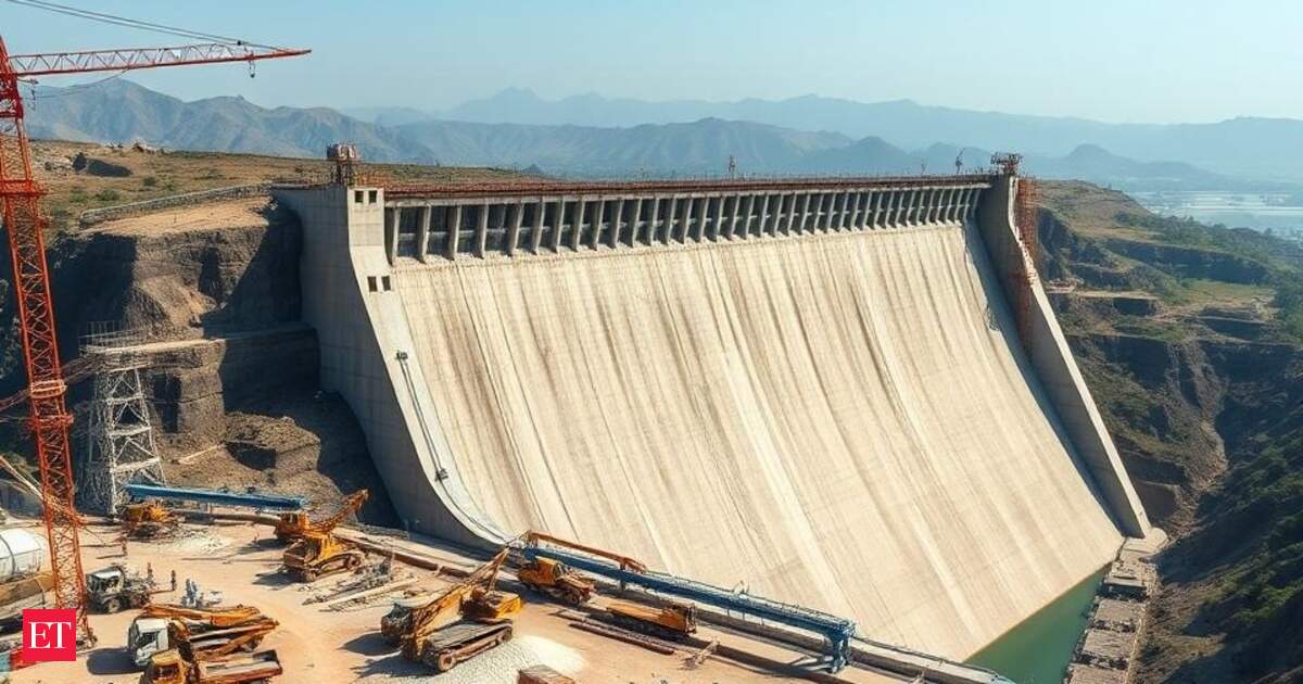
India has raised concerns over the dam, as it not only empowers China to control the river’s water flow but also poses the risk of flooding border areas by releasing large volumes of water during potential hostilities due to its sheer size and scale, news agency PTI had reported. India is also constructing its own dam on the Siang River, as Brahmaputra is called in Arunachal Pradesh, the Upper Siang Multipurpose Project.
In March, Arunachal Pradesh Deputy Chief Minister Chowna Mein said that if China builds the massive dam over Yarlung Tsangpo river and diverts its water, it will dry up the Siang river and its distributaries affecting the aquatic life of the river and the large population in the plains of Assam and Bangladesh which depends on Brahmaputra river for the irrigation of their agricultural fields. On the other hand, in case, if any conflict arises between the two nations in future, it may release a large volume of water from the dam, which would cause unpredicted flooding in the downstream areas in Arunachal Pradesh and Assam causing loss of lives and properties.
In April, BJP MP from Arunachal East, Tapir Gao, described China’s planned dam on the Yarlung Tsangpo as a “water bomb” that China could unleash against India and other downstream nations. “We have two options — raise our voice, though Xi Jinping will not listen; or build an alternative large dam to counter the Chinese water bomb,” Gao said.

“China isn’t merely building dams; it’s creating ‘water bombs’. The devastation such actions can cause was evident in 2000 when floods triggered by a massive water release washed away nearly all the bridges on the Siang river, as the Yarlung Tsangpo is called in Arunachal Pradesh. Pasighat airport was submerged under 7 feet of water at the time,” Gao said.Gao backed a proposal to build a dam on the Siang river in Arunachal Pradesh to mitigate downstream disasters. “Experts informed me the dam could have a 25-metre buffer level extending up to 15km, capable of retaining substantial water during sudden releases and averting disaster. Public consultations are ongoing regarding the proposed dam,” he said.However, Chinese foreign ministry’s spokesperson Guo Jiakun said in January that the dam would, to some extent, contribute to downstream disaster prevention, mitigation, and climate change response. This was in response to a question about India’s concerns regarding the dam, which were discussed during talks between Indian officials and the visiting then US national security advisor, Jake Sullivan.
Should India worry?
Assam Chief Minister Himanta Biswa Sarma on Monday tried to alleviate fears on China’s move to construct the world’s largest dam on Brahmaputra and said he does not foresee any immediate cause of worry as the river gets most of its waters from Bhutan and Arunachal Pradesh. Speaking to reporters, Sarma said the exact impact of the massive dam, the construction of which began last week, is not properly known as different theories are being floated, and hoped that the Centre must be in touch with China on the matter.
“First — if Brahmaputra’s flow is disturbed by China, then there may be less water and consequently biodiversity will be affected. But there is also a counter view that if less water comes, it will also act as a flood cushioning. So, I don’t know which one is correct,” he added. Sarma said that the Centre is a better judge on this topic and it will take a call on this.
Unlike the Indus system, where India holds the upstream advantage and Pakistan remains critically dependent on downstream flows, the Brahmaputra dynamic is less binary. As per a TOI article published in July, China commands an upstream position but its leverage is not absolute. Brahmaputra gains most of its volume only after it enters India, fed by torrential tributaries like Lohit, Dibang, and many others draining the eastern Himalayas. Yarlung spans 1,625 km across the Tibetan plateau and seems, at first glance, a river shaped upstream. Only, as it plunges through the Siang gorge into Arunachal and transforms into Brahmaputra, its character changes dramatically. Contrary to the common assumption that upstream means control, Tibet contributes only about 14% of the river’s total annual flow. A staggering 86% is generated within India — driven largely by intense monsoon rains and a network of torrential tributaries in Arunachal and Assam.
But the real threat is not of deprivation. It is of sudden inundation. If China releases large volumes of water during the flood season, it is India’s northeast, particularly Arunachal and Assam, that stands most exposed, as per the TOI article. While China cannot easily weaponise the river by cutting off its flow, the risk will stem from sudden surges — be it from upstream dam releases, engineering misjudgements, or the erratic extremes of a warming climate. For Arunachal and Assam, already battered by recurrent monsoon floods, such shocks could prove devastating.
China doesn’t have a pact with any of the lower riparians. India and China did sign an MoU in 2013 but Indian officials said China has not always been open about sharing hydrological data.
(With inputs from TOI and agencies)